West Oxfordshire Lowlands Movement and Place Plan
Consultation has concluded
Have your say!
The Movement and Place (MAP) Plan for West Oxfordshire Lowlands is Oxfordshire County Council’s long-term plan to improve local places and transport. Its aim is to create better public spaces for communities and upgrade travel routes and infrastructure.
This MAP Plan is a ‘live’ document, meaning it will be updated regularly to reflect the latest needs and aspirations for the area, as schemes are developed and delivered. It includes proposals and projects for the next 25 years.
Overall, the MAP Plan is designed to enhance the quality of life for people who live, work, or visit the West Oxfordshire Lowlands, support sustainable development, make travel easier and improve the local environment.
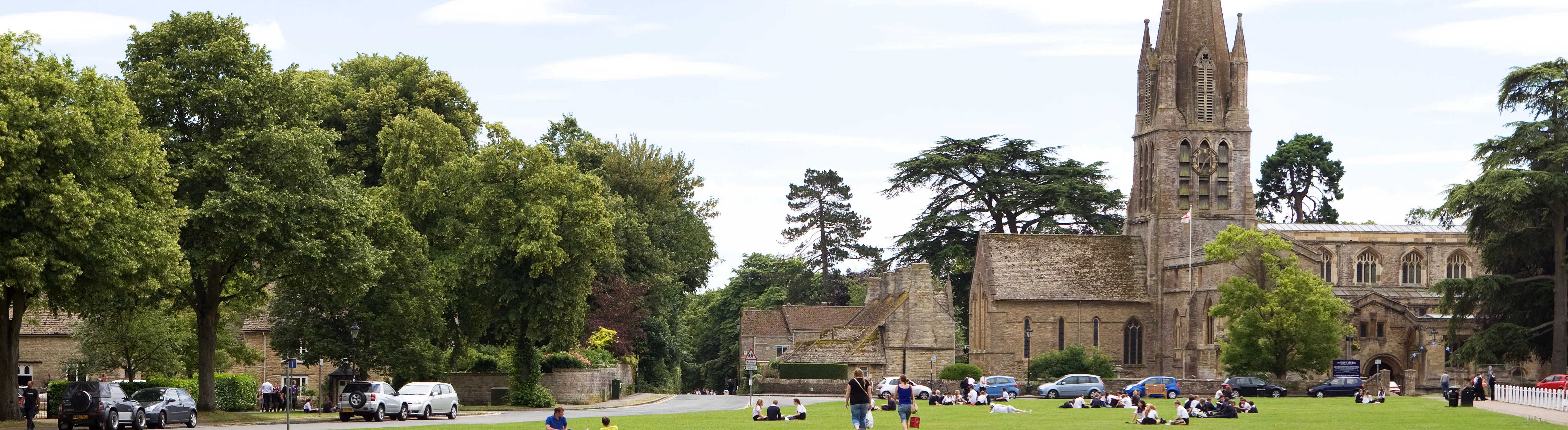
This MAP Plan covers the towns of Burford, Carterton and Witney, along with many surrounding villages, including:
Alvescot, Asthall, Aston, Bampton, Black Bourton, Brize Norton, Broadwell, Broughton Poggs, Cassington, Chimney, Clanfield, Cote, Crawley, Curbridge, Ducklington, Eynsham, Filkins, Freeland, Fulbrook, Grafton, Hailey, Hanborough, Hardwick with Yelford, High Cogges, Holwell, Kelmscott, Kencot, Langford, Lew, Little Faringdon, Minster Lovell, North Leigh, Northmoor, Radcot, Ramsden, Shifford, Shilton, South Leigh, Standlake, Stanton Harcourt, Swinbrook, Tayton, Westwell and Widford.
We will be holding in-person drop-in events:
- Eynsham - 14th May 9 am -12 pm at St Leonard’s Church Hall
- Carterton - 14th May 2 pm - 5 pm at Carterton Town Hall
- Witney - 19th May 9 am - 4 pm at Witney Corn Exchange (Town Hall)
We will be happy to welcome your in-person feedback and thoughts on the MAP Plan proposals.
We want to hear what you think about the MAP Plan for the West Oxfordshire Lowlands, and how we can make it better.
We’re especially keen to hear your views on:
- The overall vision for the area
- The objectives set out in the MAP Plan
- The actions we’re planning to take to meet these objectives
- How often we should review and update the plan
Your feedback will help shape the future of the West Oxfordshire Lowlands.
Before you start the survey, we recommend having a look at either MAP Plan or the Executive Summary document and the proposals map. These give a helpful overview of what the plan is about.
But don’t worry - it’s not essential to read them before taking part.
This survey should take approximately 5 - 10 minutes to complete.
This consultation will run from Tuesday 5 May at 10.00 am until Tuesday 2 June 2026 at 11:59 pm.
What happens after the consultation period?
Once the consultation ends, we’ll look at all the survey responses and any other feedback we’ve received. This will help us make improvements to the MAP Plan.
The updated plan will then be presented to the Council’s Cabinet in July for approval.
Once adopted, this will then replace Local Transport Plan 4: Area Transport Strategies for Witney and Carterton (see: Connecting Oxfordshire - Area Strategies).
