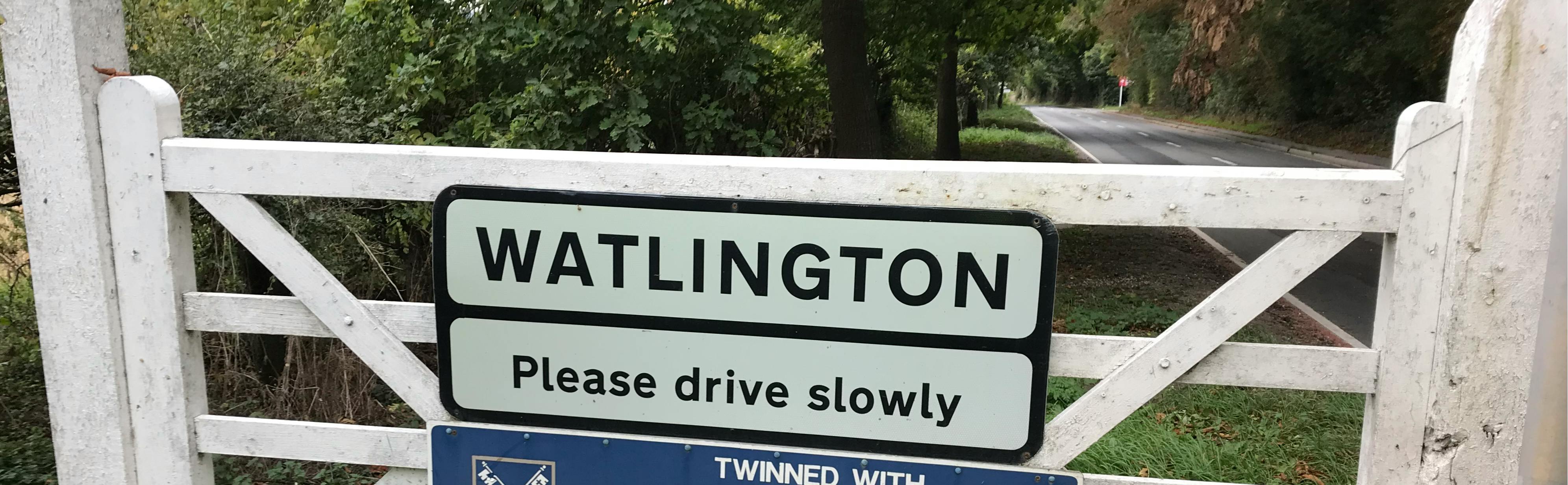
Watlington Relief Road
Consultation has concluded
Welcome to the consultation page for the Watlington Relief Road scheme. This consultation showcases the design details and road layout of the Watlington Relief Road and provides an opportunity for the local and wider community to comment on the design of the road.
The consultation involves an online survey, which can be completed below, and two drop-in events where you will be able to see the proposals in person and/or speak to the project team.
The online survey runs from 12:00pm on Monday 20 February 2023 to 11:59pm on Monday 20 March 2023. The drop in-events are on 23 February 2023 and 09 March 2023, and all information on this page can be viewed there, including the maps/drawings and the survey. Please see the Drop-in events section on this page for more details.
About the scheme
The Watlington Relief Road project aims to provide an alternative route and direct access to the B4009 either side of Watlington without the need to travel through the town centre. It will connect the western side of Watlington on the B4009, looping northwards and connecting back to the B4009 on the eastern side of the town.
Its aim is to alleviate congestion, noise and air pollution in the town centre and enable future housing developments, by offering more sustainable modes of transport including cycling and walking.
The relief road will feature:
- two roundabouts
- one T-junction
- three shared-use zebra crossings, and
- walking and cycling infrastructure to support active travel.
The relief road will connect a series of existing and proposed developments around the northern and western sides of Watlington, with some sections being delivered by developers and some directly by Oxfordshire County Council.
The council will be responsible for the construction of three sections between the proposed housing developments:
- Revised alignment for the T-junction at Britwell Road / Harmans Way, providing priority for access on to the relief road.
- The section of the relief road between the Bloor Homes and Redrow developments including a bridge over Chalgrove Brook and a new roundabout at the junction with B480 Cuxham Road.
- The eastern end of the relief road between the Redrow development, at Pyrton Lane, and the B4009 Shirburn Road including provision of the loop at Icknield Community College and a new roundabout at the junction with the B4009.
Bloor Homes and Redrow will be responsible for the sections of road next to their respective developments.
General arrangement plans for the sections that the council will be delivering, along with a route map and a copy of the Optioneering Appraisal Report, are available in the Maps, drawings and supporting documents section on this page.
The Frequently asked questions (FAQs) section will provide answers to common queries about the project.
Background information
A corridor for the relief road was previously identified and adopted in the Watlington Neighbourhood Development Plan in 2018. It was also designated as a ‘safeguarded route’ in the South Oxfordshire Local Plan 2035, in 2020.
Public consultation about the Watlington Neighbourhood Development Plan, which would have included the need for the road itself, took place in 2018. In addition, as part of the assessment of the South Oxfordshire Local Plan, viability of the Watlington Relief Road was examined by inspectors appointed by the Secretary of State. The examination hearings were held in July and August 2020.
An Optioneering Appraisal Report (OAR) was published and shared with parish councils in March 2021 and was approved by OCC Cabinet in September 2021 (item 92/21).
In preparation for submitting a planning application later this year, the following assessments are being undertaken:
- Environmental
- Ecological
- Traffic
There are background documents for the Watlington Neighbourhood Development Plan, the South Oxfordshire Local Plan 2035 and the planning applications for the various developments in the Background supporting documents section. These are optional - you do not need to read them to complete the survey.
Providing feedback
We would like you to share your views on our proposals, by completing the online survey by 20 March 2023. This is your opportunity to contribute to how the scheme can work best for all those who will travel along the relief road.
Once you have reviewed the key documents on this page, you can comment using the online survey form below.
If preferred, you can also provide feedback using a paper survey. Details are provided on how to access a paper copy in the Printed copies section of this page. Once completed, your paper survey can be returned to the reception/service desk of the facility where you collected it by Monday 20 March 2023. Alternatively, you can post your survey to:
Freepost OXFORDSHIRE COUNTY COUNCIL
Please write ‘Watlington Relief Road consultation’ in the top left corner of the envelope, so we can easily identify what is inside.
Maps, drawings and supporting documents
-
 General arrangement plans
-
 General arrangment plan 1 - Full route layout (2.95 MB) (pdf)
-
General arrangement plan 2 - revised junction at Britwell Road and Harmans Way.pdf (2.44 MB) (pdf)
-
General arrangement plan 3 - Junction with Cuxham Road (2.81 MB) (pdf)
-
General arrangement plan 4 - Icknield Community College loop and junction with B4009 Shirburn Road (2.75 MB) (pdf)
-
General arrangement plan 5 - close up detail of roundabout junctions.pdf (1.59 MB) (pdf)
-
Key to general arrangment plans.pdf (108 KB) (pdf)
-
-
Optioneering Appraisal Report
-
Statement of Community Involvement


Frequently asked questions (FAQs) - Watlington Relief Road
-
General FAQs
- What is the purpose of the relief road?
- Why do we need more houses in Watlington?
- How will the relief road serve access to Icknield Community College?
- What will the proposed speed limits be on the new road?
- Will it encourage rat-running on country roads?
- Will the new relief road be visible from nearby homes?
- Will the relief road encourage use by heavy goods vehicles (HGVs)?
-
Construction FAQs
- What is the timescale of the programme?
- When will construction start, and how long is it expected to last?
- What is the Council delivering and what will fall to the responsibilities of the various developers?
- How will you manage the traffic disruption while the relief road is being built?
- How were the designs determined and which design standards have been followed?
-
Land and finance FAQs
-
Environmental FAQs
-
Active travel FAQs
-
Consultation FAQs
- What is this consultation for?
- Will the public get to see any drawings, maps, or plans?
- How can I ask a question or make a complaint/comment and how will my feedback be considered?
- What about people without internet access and those unable to attend in-person or who need information in an alternative format?