Transcript - How to use Remix maps
Hello, and welcome to remix.
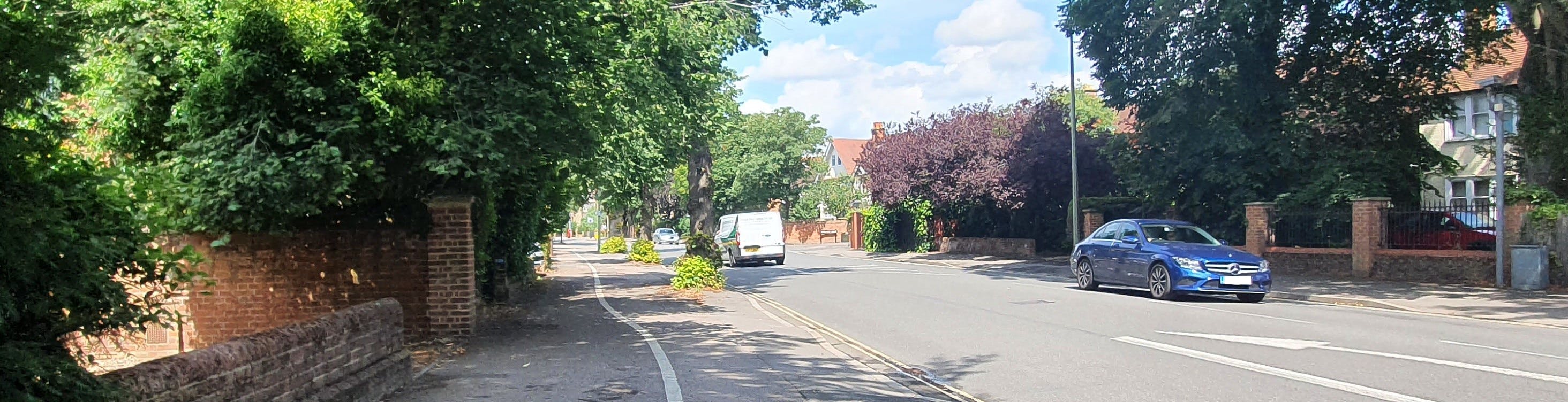
Remix is a new way to visualize engineering drawings and infrastructure proposals. It's designed to be easy to use and easy to understand and gives the public a direct line of communication and feedback to the council.
The first thing you'll notice is that we've separated the project into four different areas. The whole corridor has been redesigned, but you can use the 1, 2, 3, and four keys on your keyboard to quickly jump to each different section.
Now, in this how-to video, I'd like to orient you to how you can use remix, how you can view the project and how you can give your feedback.
The first thing we'll look at is changing your view on the map. So simply click hold and drag your mouse to look at any other place on the project to zoom in or zoom out on the bottom right corner.
There's a plus and a minus sign press minus for zoom out. And plus for zoom in, you can also use your scroll wheel on your mouse to zoom in or zoom out.
If you click on any of the segments of corridor, you can actually see the lane configuration pop-up so you can see the foot paths, the cycle lanes, the parking, and so on the width indicated are for indicative purposes.
So if you'd like to see the exact specifications, take a look at the engineering drawings themselves, you'll notice there's a key, so you can see the different types of lanes and what they represent.
And you'll notice that on the project, there's lots of comments that we've left that give you some of the input that went into our decision making on this project. So take a look at some of the comments, go ahead and scroll through. And we're really looking forward to hearing your feedback.
Now, if you have a suggestion or comment, we'd love to hear it. So on the top right hand corner, it says, post comment, simply click post comment, and then click anywhere on the map. And then you can type your feedback in the comment box. This is all sent privately, so your details are safe and they're anonymous, but it's a direct line of communication with the council.
So we'll look at all of the comments and feedback on this project, and then we'll consider implementing some of the suggestions in the next iteration. If you want to change the base map on the bottom right-hand corner, you can change the map style.
So if you want to look at, for example, the OSTP map or the satellite or others, go ahead and take a look at other base maps that are available in here.
Now we're really looking forward to hearing your feedback. I hope this video was useful. Thanks very much for taking a look at the project and let us know if you have any questions.