Frequently Asked Questions (FAQs)
Why is the scheme needed?
A key priority for Oxfordshire County Council is to create a transport network that makes active travel the first choice for short journeys. The term ‘active travel’ includes walking, cycling and wheeling. This cycle route is identified in the Bicester Local Cycling and Walking Infrastructure Plan(External link) (LCWIP). Bicester is expanding rapidly, and the LCWIP supports the Cherwell Local Plan which sets out a development plan for the town’s anticipated population increase from 30,000 to 55,000 by 2034.
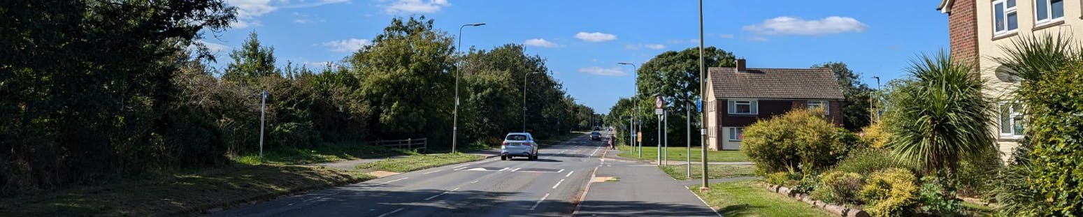
The scheme will allow better and safer routes for walking, cycling and wheeling between the town centre and the residential areas near Middleton Stoney Road
Why is there all this focus on active travel?
The Oxfordshire Local Transport and Connectivity Plan(External link) aims to reduce the need for individual private car journeys, and make walking, cycling, public and shared transport the natural first choice. It has ambitious targets including: to reduce one in four car trips by 2030, to deliver a net-zero transport network by 2040, and to stop road fatalities and life changing injuries by 2050. Investment in active travel will help us achieve these targets.
I have noticed the term ‘wheeling’. What is this?
The terms ‘pedestrians, wheelers and cyclists’ who ‘walk, wheel and cycle’ have been designed to include those who depend on non-motorised or low speed wheels. Examples include wheelchairs, rollators (walking frames) and mobility scooters.
Is planning consent required?
Planning consent is not required for these improvement works. The work would be carried out on land within the boundaries of a road by/on the instruction of Oxfordshire County Council (as the local Highway Authority), and would not include any works that may have significant adverse effect on the environment.
What are you doing to help disabled access?
The scheme is being designed in line with LTN 1/20 Cycling Infrastructure Design(External link) to meet the standards of access and inclusion. This includes detailed standards on the layout of footways and crossing points including dropped kerbs, tactile paving (textured paving sections to indicate where a junction or crossing is to help people with visual impairments), and facilities at signalised controlled crossings (pedestrian or pedestrian/cycle crossings with crossing lights to indicate when road traffic must stop and when pedestrians should be able to cross safely).
It is really important that we hear from people about what their requirements are so we can tailor the plan where practicable to benefit most people using those routes. For example, if there's a small change that can be made that would especially help to make a crossing point also work better for people with auditory impairments, or people using rollators, then letting us know about it can help us to try and incorporate that accessibility into the plan if it is practicable.
What is the width of the proposed cycleway and footway
In general, the proposed width of the proposed two-way cycleway will be 3 metres and any sections of new footway will be 2 metres. At pinch points these widths may be reduced for short sections and/or a section of pavement may be shared-use (shared between cyclists and pedestrians). This will be where the available highway and footway widths are not sufficient to fit in a segregated cycleway.
Why are you proposing people walking and wheeling share the pavement with bicycles in some places?
Safety is the number one reason that people who otherwise might cycle choose not to. The latest national guidance on cycling schemes is clear that cyclists must be separated from the main traffic on busy roads. For the majority of the scheme there is sufficient space for cyclists to be given a cycleway separated from traffic and pedestrians.
Where shared use (between cyclists and pedestrians) sections of pavement are proposed the existing pavement will be widened to ensure there is space for all. Signs will clearly indicate to cyclists that they need to share the space with pedestrians and we will review how people use the final constructed scheme with a particular focus on safety. These wider sections will also benefit people on mobility scooters.
SEE ALSO:FAQ: What is the width of the proposed cycleway and footway?
What feedback are you hoping for from the local community?
We would especially like people living or working in or near Bicester, or regularly visiting the town to comment on our proposals by responding to our survey online or on paper, or by writing to us or speaking to us at the drop-in event. The survey questions are arranged to help people to comment on the different specific elements of the designs, so we can review and make further changes as necessary.
How can I ask a question, request further details, or make a compliment/complaint/comment?
If you would like to know more about the project, you can contact us by email: BicesterLondonRoad@oxfordshire.gov.uk(External link)
Where is the money coming from to pay for it?
The UK government’s Department for Transport (DfT) has allocated funding from the Active Travel Fund (Tranche 3). Additional funding contributions have been allocated from developments in Bicester through planning agreements (S106 agreements(External link)).
When will construction works start and how long will they take?
The current plan is to start the construction work in autumn 2025 (if approval is given for the scheme to go ahead for construction). These works would then finish in spring 2026. However, the precise timeline will also depend on developers' utility cabling works to supply nearby developments, which need to be completed in advance of this project.
Will there be noise and dust during construction?
Some noise and dust is inevitable during the works. The construction team will seek to reduce the disruption as far as is reasonably practical, and we apologise in advance for any inconvenience that these works cause.
What will the emergency services do?
We do not expect the works to disrupt emergency services from carrying out their duties.
What is the impact on traffic going to be?
The final scheme is not anticipated to have any negative impact on traffic volumes or congestion. As it will deliver better, more direct and safer route opportunities for walking, wheeling and cycling, the expectation is that it may help reduce motor traffic congestion in the longer term, as more people find it easier to use active travel modes for some of their local journeys.
During the road works we will coordinate works to minimise the impact on the network as far as possible. Information signs will be erected to highlight the planned works, dates, and duration of works. We will maintain normal access and emergency access to properties during the works. Further details of proposed traffic management arrangements will be available closer to construction.
Will any trees be removed or planted?
It may be necessary to remove some trees along the existing verge edge along Middleton Stoney Road. Precise requirements will be developed in the next stage of design - once the plan is more finalised- alongside tree surveys. Any tree removal will be dependent on an arboricultural assessment and planting mitigation plan.
Is this the same as the consultation and engagement for Bicester -– London Road?
These proposals complement the proposals for active travel improvements on London Road, Bicester to benefit more opportunities for safer and more direct walking, wheeling and cycling. To help make it easier to consider the two sets of proposals fairly, Oxfordshire County Council is consulting on the two proposals separately.
The survey for London Road is available on https://letstalk.oxfordshire.gov.uk/london-road-active-travel until 11.59pm on 18 March 2025.
Will the existing speed humps be retained?
Yes, speed cushions to maintain lower traffic speeds will be retained but some locations will be altered such that they are correctly spaced between the new zebra crossings. The new zebra crossings will be raised in order to reduce vehicle speed where pedestrians and cyclists are crossing.
Why is there a proposal to restrict motor vehicles at the end of Chalvey Road?
Chalvey Road and Villiers Road both join Middleton Stoney Road at the same point. This makes crossing Villiers Rd quite difficult for pedestians as they need to look for traffic movements from various directions. Vehicle access to Chalvey Road will still be retained from several other adjoining roads including Ray Road and Chalvey Close.
Why does the cycleway run along one side of the road in the eastern section and the other side of the road in the western section?
This is mainly a result of the current highway boundary alignment. In the western section (west of the Whitelands Way/Shakespeare Drive roundabout) there is more space to construct on the south side of the road. In the eastern section there is more space on the north side. The chosen alignment is the most cost-effective solution.
Why are you proposing zebra crossings and not signal crossings?
Zebra crossings are preferred as they minimise delay to both pedestrians and traffic and can therefore operate more efficiently than signal crossings. They are considered suitable when traffic speeds are low. The proposed zebra crossing types, which can be used by cyclists and pedestrians, will be raised to pavement level to encourage slower traffic speeds and increase safety for vulnerable road users.
Signal crossings (traffic lights) are preferred at the Whitelands Way/Shakespeare Drive due to additional lanes on the vehicle approaches.
Where is the money coming from to pay for it?
The UK government’s Department for Transport (DfT) has allocated funding from the Active Travel Fund (Tranche 3). Additional funding contributions have been allocated from developments in Bicester through planning agreements (S106 agreements). The overall funding for the project is £5.1m (including roughly £600,000 from S106 contributions).